Closest city to the trailhead:
Walla Walla, Washington
Average distance of hike:
About 2.5 miles. There are loops that are 4-plus miles.
Why do you recommend it?
There are over 20 miles of trails throughout this park. Everything from paved walkways, singletrack biking and running trails to mellow walking/hiking trails that meander through the fields and around the lake.
Story continues after a quick message from our sponsor below.
What was most noteworthy?
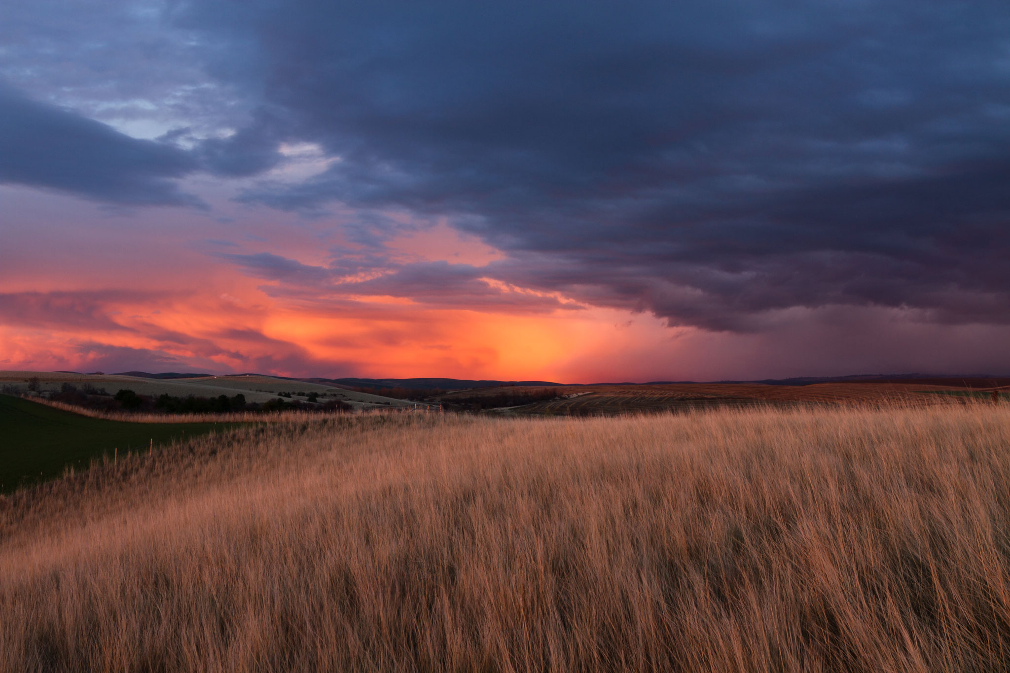
Walla Walla has some of the most incredible sunsets around. Head up to the lake in time to catch one them.
Are there restrooms?
Yes, at the main trailhead and lake.
Know before you go:
Bring your binoculars. This place is a great bird and wildlife watching destination.
Where to celebrate after?
With Walla Walla just a few miles away, take your pick of great places to grab a bite and beverage.
Nspire Challenge Rating:
1 – Lazy Sunday Stroll
2 – Family Adventure
3 – Average Outdoor Enthusiast
4 – Bring Your A-Game
5 – Master Adventurer
How do you get there?
Bennington Lake – Google Map Location
Drive to Walla Walla. Head southwest on HWY 12 and get off at the Airport Way exit. Turn left at the intersection and continue straight on Airport Way. It will become Tausick Way in about a quarter mile. Follow Tausick and turn left onto Reservoir Road toward Bennington Lake. Follow until it ends at the Bennington Lake boat launch and main trailhead.
Photography By Chris Celentano
As Featured In: 2018 Summer/Fall SPO Edition


