Closest city to the trailhead:
Coolin, Idaho
Average distance of hike:
5.5 miles

Why do you recommend it?
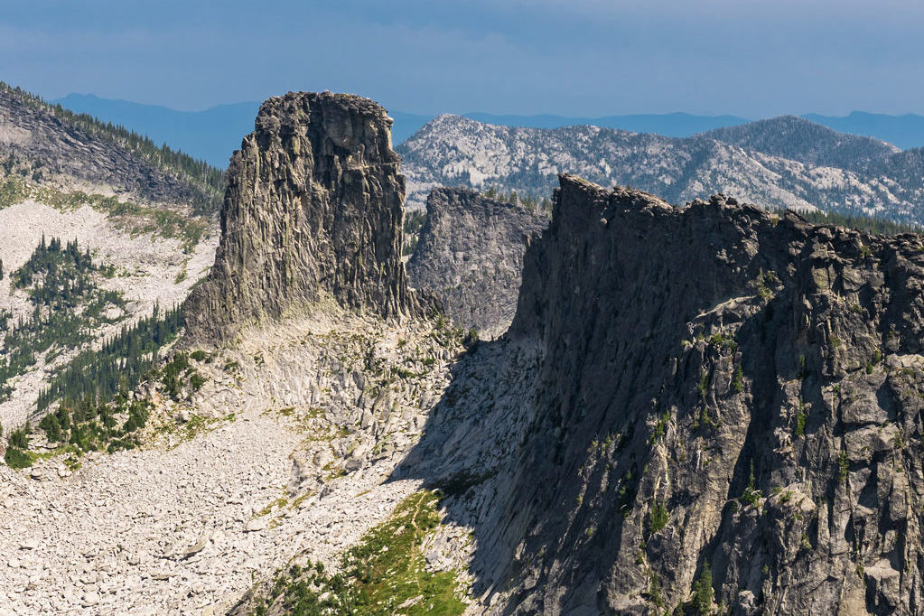
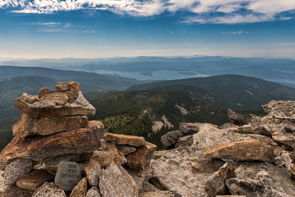
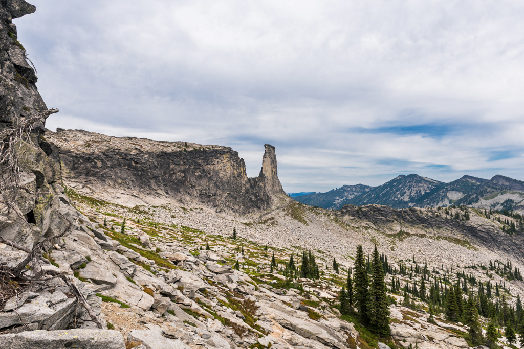
The amazing scenery and view!
What was most noteworthy?
This is a very scenic hike, but fairly difficult to get to and somewhat difficult to hike. My hike came in from the west, but a popular route is from the East via the Pack River.
Are there restrooms?
Yes, in the area
Story continues after a quick message from our sponsor below.
Know before you go:
Water and a high clearance vehicle is highly recommended.
Where to celebrate after?
Moose Knuckle Burgers and Brew in Coolin, Idaho
How do you get there?
Chimney Rock – Google Map Location
West Route to Chimney Rock. From Coolin Idaho take East Shore Rd toward Cavanaugh Bay. Continue 7.3 miles, cross the Hunt Creek Bridge and bear Right onto Rd 24, Hunt Creek. Continue about 4.5 miles on the main road and bear Left onto Rd 2. Go 1.5 miles and bear Right on Rd 25. Go 3.4 miles to the junction of Rd 2 and 254, and turn Right. Go 1 mile to the trailhead.
Photography By Joel Riner
As Featured In: Summer/Fall 2017


