It was winter 2013, and I was on a sea kayaking expedition on Lake Pend Oreille.
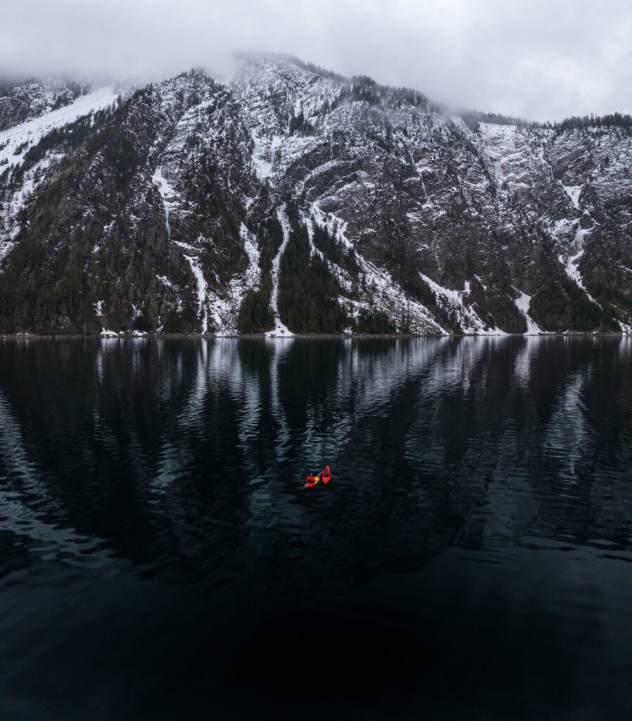
I had just spent a sub-zero night in front of a fire on a frozen and deserted beach on the southern end of the lake and was now paddling my way beneath the breathtaking and humbling cliffs that tower precipitously below Bernard Peak, in the Coeur d’Alene Mountains.
As I looked up at the rock faces, I immediately noticed that every gully, chute and blank face was covered in a thick glaze of ice. There were massive ice climbs everywhere.
As a rock climber, who had just recently delved into the world of ice climbing, I knew I had found something special. But that something was so far beyond my skill set at that point, I couldn’t fathom what it would take to accomplish any of the climbs, even the ones that looked easiest. After that trip, I spent the next several years honing my climbing skills.
Sometime around 2018, I met a young climber, Earl Lunceford, or EJ as he went by at the time. He was infectiously happy, friendly and was doggedly determined to climb hard and to latch on to anyone with experience that could help him on his way to becoming a climbing legend.
We climbed together only a couple of times in the following years but stayed in contact as he traveled around climbing more and more impressive lines in larger and larger mountain ranges. He climbed extensively with another local legend Fremont Shields.
I told EJ and Fremont about Bernard Peak and how it had been my dream line. I had finally built my skillset to the point that making an attempt on one of these mighty ice lines was in the realm of possibility and not just a kamikaze mission.
By late 2022, I had been climbing ice like a madman. I was having the best ice climbing season of my life and while I was physically a bit out of shape, my ice climbing skills were the best they had been. Around the middle of the season, and for the first time in almost three years, I set my eyes back on Bernard, and what I had coined The King Line.
Story continues after a quick message from our sponsor below
Sizing it up
I scouted the climb using binoculars. I could see there was ice, and lots of it. I quickly launched my drone and made the nerve-wracking flight across miles of open water. There was far more ice than I remembered. I knew I needed an even closer look at the climbs and the extremely delicate environment they were situated in.
These climbs formed in avalanche and rock fall chutes, 1,800- to 2,700-foot-tall chutes to be exact. Too little snow and warm temperatures meant major rockfall hazard. Too much snow and there would be major avalanche hazards.
A couple of weeks later, I invited my buddy Dave Spoelstra out for a winter kayak trip, not unlike that trip I made over a decade prior. Only this one was just a day trip designed to get as close as possible to this ice climb for measurements, routes and high-resolution imagery to study back at home.
I knew these climbs were fickle, and it would require near perfect conditions to scale. At this point I knew the ice was in and it could be climbed. The big question was the weather. These climbs reside at what I call the “magic altitude,” where winter warmups in the low elevations help grow ice climbs instead of melting them out completely. The extreme cold spell that we had been in was ending, and I could see temps trending upward into the mid- to upper- 30’s for the next couple of weeks. This trend would melt out and release a lot of the snow on the bedrock faces that could release and trigger avalanches. This was good. As long as the climbs refroze at night, the ice would stay healthy. And if the climbs stayed at or very near the freezing line during the day of our climb, we would be ok.
I texted Earl the night after the scouting trip and sent him the pictures and videos. His excitement was palpable. We decided the climb needed to happen within the current weather window before another snowstorm.
One of the most unique aspects of these climbs is that they reside in an area accessible only by water. That meant we needed to access this climb via kayak, which added to the adventure as Lake Pend Oreille is known to produce ocean-sized waves.
That following morning, Earl and I headed out. We checked and rechecked the weather on the way up and discussed the route and a general plan for the day before pulling into the launch site just as daylight was making its debut over Bernard Peak across the lake from us.
After a pleasant and calm paddle over to the cliffs, we found a safe and protected cove to land and stage the boats for the day. We got out of our kayaking gear and changed into climbing gear while constantly keeping the rising temperatures in mind. We wanted to be up this climb and back down safely before the temps rose enough to start releasing rock and snow from above us.

Making the climb
The climb begins at the water’s edge. About 650-700 feet up a rock- and neve-filled chute was the actual ice. It took us about 40 minutes to reach it.
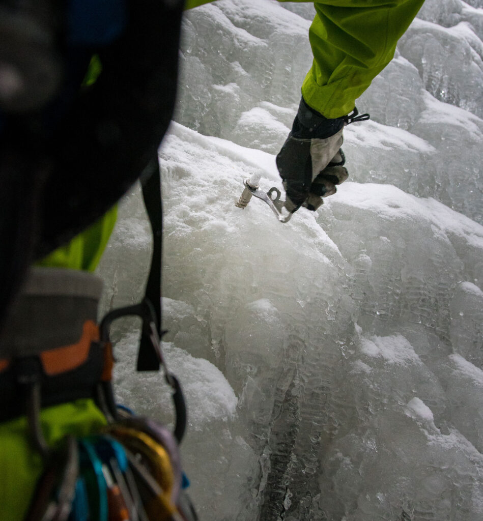
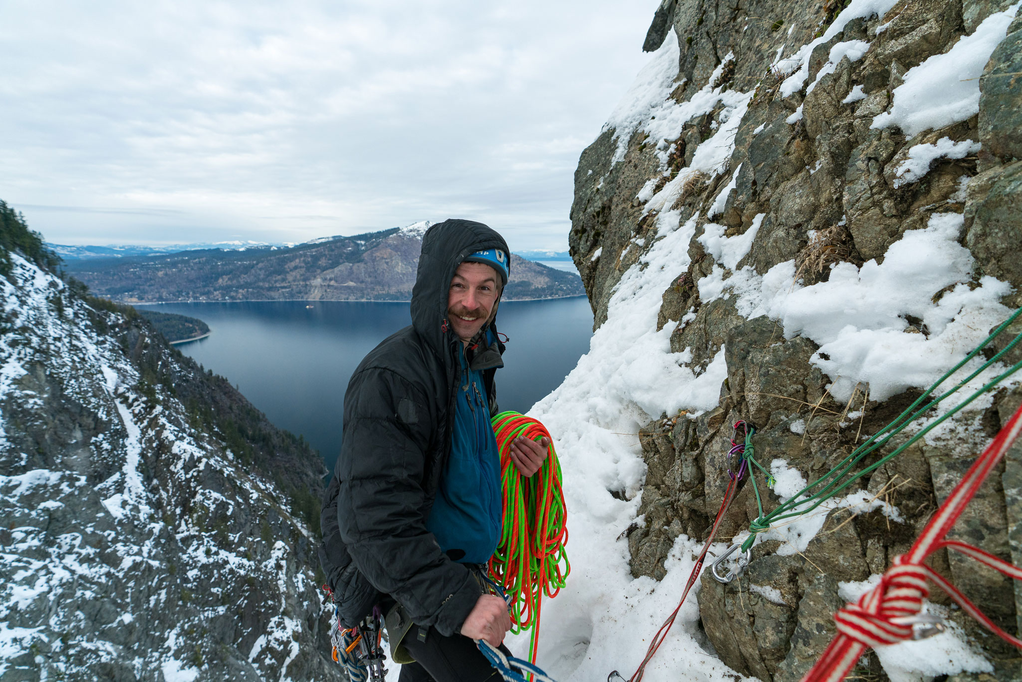
We decided I would lead the first pitch. To our dismay, more ice had melted in the week since I had scouted the route, and there was a lot more rock exposed, complicating the climbing a bit. Despite that and having a bit of mixed climbing to contend with on the first pitch, it went well. Once I got to the top of the pitch, I built an anchor in a place that I thought would be well protected from rock and ice falling from above. Earl made it up to me at the bottom of the second pitch. He immediately started up the second pitch, which ended up being the crux pitch of the day. It was a full 70 meters, literally end of rope to end of rope. This section of the climb was nearly vertical for a significant stretch on what could best be described as less than ideal ice.
While Earl was climbing, I was keenly aware of just how warm it was getting. The fear of rock and ice fall grew more present with each moment that we climbed higher and higher up this chute. Every few minutes we would hear a smack above, then an audible buzzing of rocks flying. Upon hearing this, I would duck against the frozen wall of ice I was currently attached to while also trying to continually pay attention to what Earl was doing 100 or 200 feet above me on lead. Luckily, most of the rocks that came down were golf-ball sized or smaller. We ended up with only one truly scary moment of rockfall that day where we decided that one more like that meant immediately bailing and rappelling as fast as possible to the bottom.
By the time Earl belayed me up to the top of the second pitch, I was tired. This was the biggest ice climb I had ever embarked on, and I was not in the shape I used to be. Alas, we still had about 400 feet of climbing to go. I quickly led the next 70-meter pitch despite my utter exhaustion. The third pitch was unremarkable as a mostly steep snow climb with several short ice and rock steps.

Realizing a dream
The final pitch was another 70 meters up a thin ribbon of variable ice to the top of a gully at the edge of the tree line and not far from the canyon rim. Once we reached that, we knew we had done it, but the work was only half over. We still needed to get down — 1,300 feet back to the lake and our waiting kayaks. Now was not the time to relax. Statistically, most climbing accidents happen while climbers are rappelling. Add in the risk of rock and icefall, our exhaustion level, how late in the day it was, (there’s no question that my reduced physical fitness level certainly held our progress back a bit), and the extremely complex nature of the anchors we had to build meant that we needed to stay on our A game until the very end.
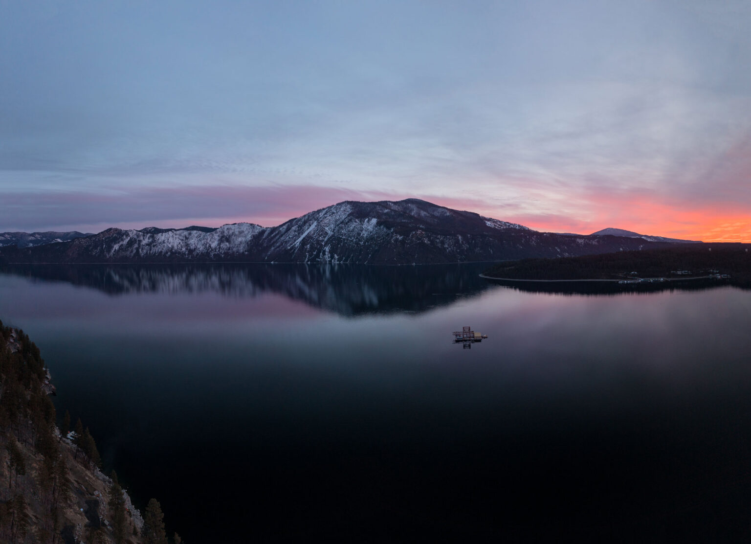
A couple hours after reaching the top of the climb that I had been dreaming about for over a decade, we lumbered back to that isolated beach where our kayaks sat waiting for us in the dark. We took our time getting our climbing gear off and our kayaking gear on while watching the early evening turn into night.
We set back off on the water, back toward the launch and the truck. Once there, we could finally quietly celebrate our accomplishment over a victory beer on a cold and deserted boat launch in North Idaho. N
By: Chris Celentano
As seen in the 2025 Winter/Spring edition


