Closest city to the trailhead:
Spokane Valley, Washington
Average distance of hike:
Iller Creek – 5 Miles
Steven’s Creek – 2.5 Miles

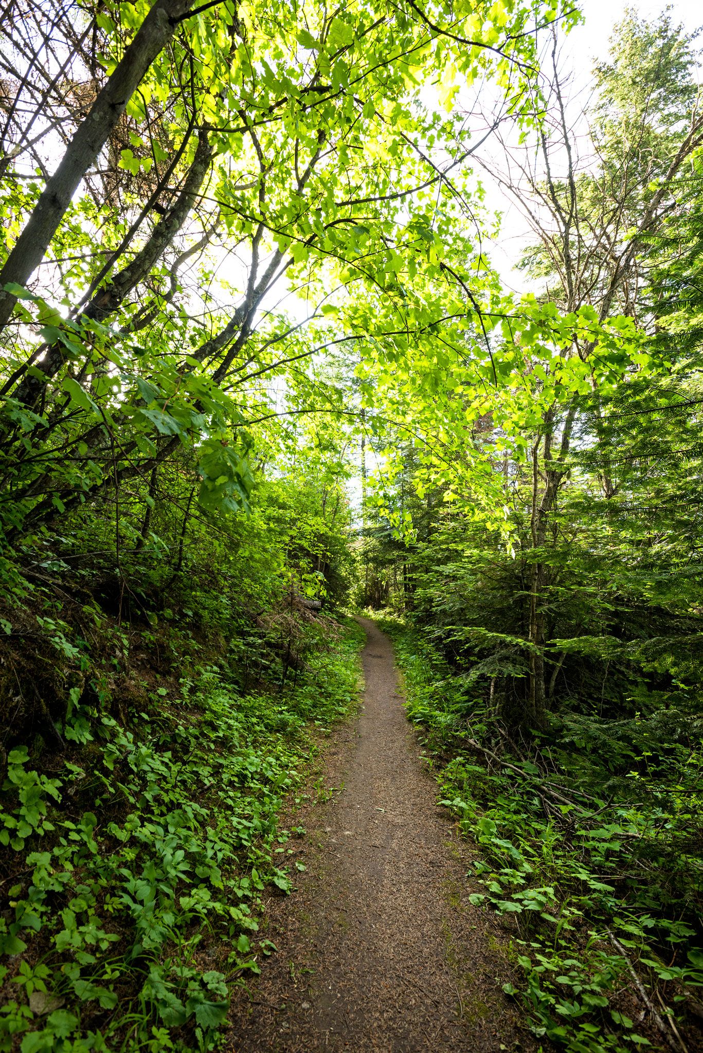
Big Rock is also accessible from the Iller Creek entrance. However, this trail is a bit more leisurely, meandering beneath the damp greenery of a Pacific Northwest canopy. It’s a popular destination for hikers, rock climbers, runners and mountain bikers. It is well-used and well-maintained trail system. While the Iller Creek Trail is less challenging than Steven’s Creek, both are quite enjoyable and offer wonderful views of the surrounding area.
Hiking along the 5 mile Iller Creek Loop Trail
Why do you recommend it?
It is a popular destination for hikers, rock climbers, runners and mountain bikers.
Most noteworthy:
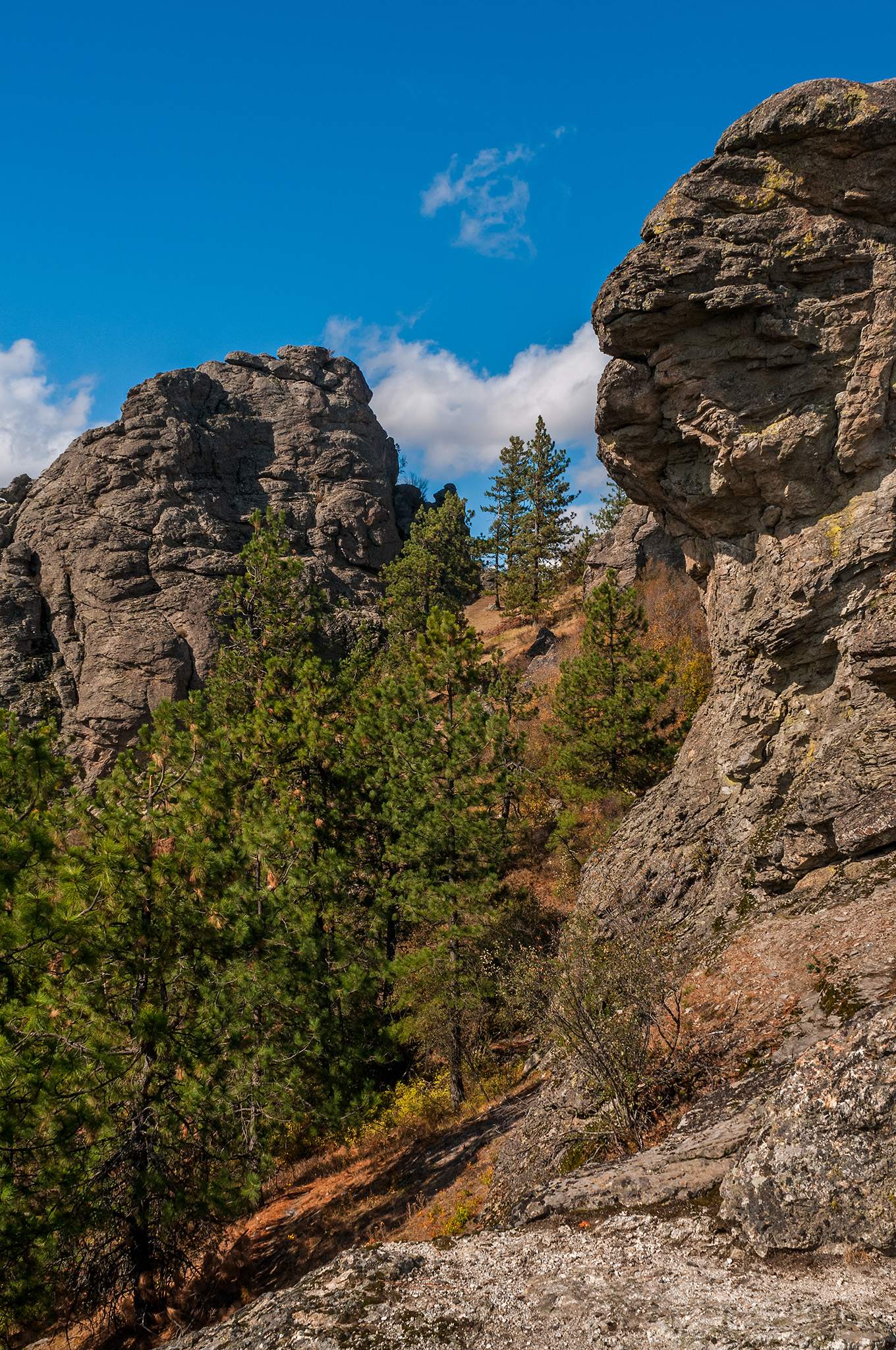
The Rocks of Sharon will absolutely take your breath away. With expansive views of the surrounding scenery and towering rock formations.
Are there restrooms?
Steven’s Creek Entrance – Yes
Iller Creek Entrance – Yes
Story continues after a quick message from our sponsor below.
Know before you go:
There are two entrances to this trail system. The Steven’s Creek trailhead is a steep, fairly challenging climb to Big Rock and The Rocks of Sharon.
Where to celebrate after?
Twigs Bistro and Martini Bar
Nspire Challenge Rating:
- Lazy Sunday Stroll
- Family Adventure
- Average Outdoor Enthusiast
- Bring Your A-Game
- Master Adventurer
How do you get there?
Iller Creek – Google Map Location

Directions:
From I-90, take the Argonne Road exit 287. Drive south on Argonne Road. Continue past Sprague Avenue onto Dishman-Mica Road, driving approximately 2.8 miles. Turn Right at the Schafer Road stoplight and then Right again at stop sign on 44th Avenue for another 0.2 miles. Turn Left on Farr Road, continue to stop sign. Turn Right on Holman Road, drive 0.75 miles to switchback (Holman becomes Rockcrest). Park on Right before the switchback at the entrance to the Conservation Area. The Iller Creek Conservation Area is on both the Right and Left of the creek.
Stevens Creek – Google Map Location
Directions:
Follow I-90 to N Evergreen Rd in Spokane Valley. Take the Evergreen Rd exit. Turn left onto N Evergreen Rd 3.2 miles. Turn right onto E 32nd Ave 0.3 mile. Turn left onto WA-27 S 6.5 miles. Turn right onto E Palouse Hwy 4.9 miles. Turn right onto S Stevens Creek Rd. Destination will be on the left.
Photography By Joel Riner
As Featured In: Premier 2017 SPO Edition


1 Comment
Go counter clockwise. If you go clockwise you will be going up steep hill with no shade. Definitely go on the .5 mile loop before Big Rock that leads up to the cell tower, it’s a stunning view of Spokane and the farms.