Closest city to the trailhead:
Libby, Montana
Average distance of hike:
1.4 miles one way

Why do you recommend it?
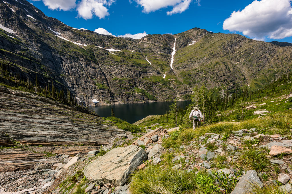
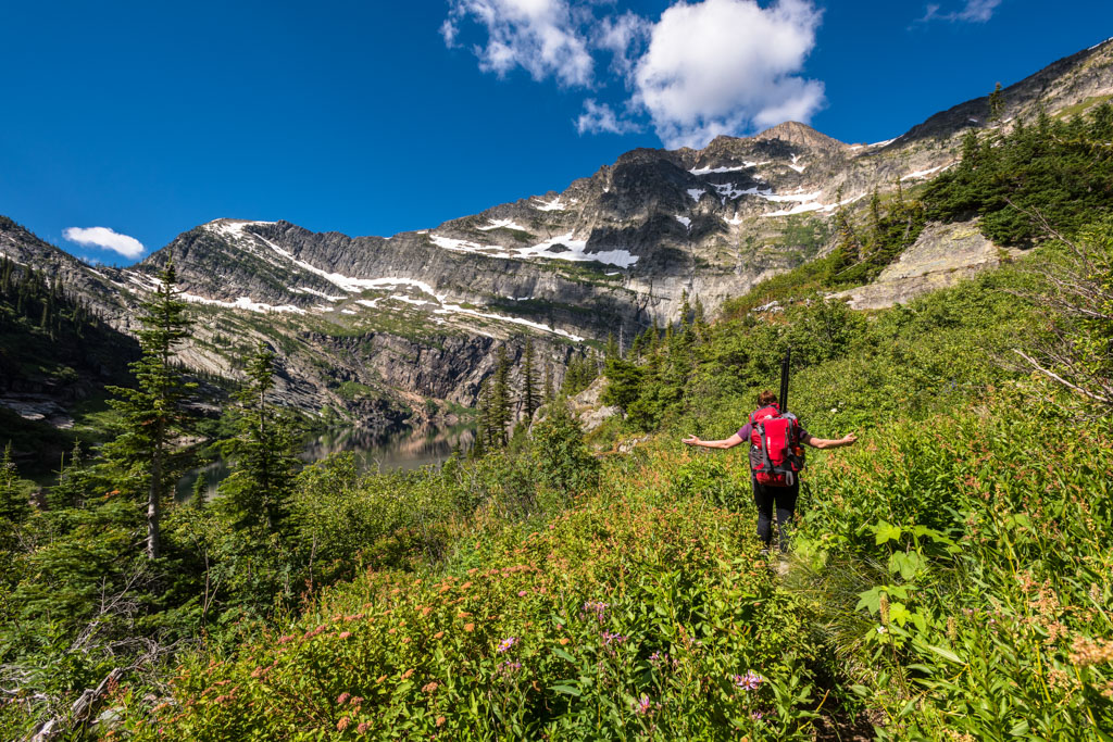
this hike has amazing scenery
What was most noteworthy?
The elevation gain of 1295′!
Know before you go:
A higher clearance vehicle is recommended to get to trailhead. One option, on calm days, is to pack an inflatable raft so you can paddle to the opposite shore for more hiking and amazing views. Keep an eye on the weather, though. If the wind picks up the paddle can be very difficult.
Story continues after a quick message from our sponsor below.
Where to celebrate after?
Cedars Restaurant & Spirit Lounge
Nspire Challenge Rating:
- Lazy Sunday Stroll
- Family Adventure
- Average Outdoor Enthusiast
- Bring Your A-Game
- Master Adventurer
How do you get there?
Leigh Lake – Google Map Location
From Libby, Travel 7 miles south on highway 2. Turn Right onto Bear Creek Rd. and travel 3 miles to Cherry Creek Rd 867. Turn Right and follow for approximately 4 miles. Turn Right onto Leigh Creek Rd 4786 and follow 2 miles to the trailhead.

Photography By Joel Riner
As Featured In: Summer/Fall 2017


