Closest city to the trailhead:
Bonners Ferry, Idaho
Average Distance of hike:
4 miles

Why do you recommend it?
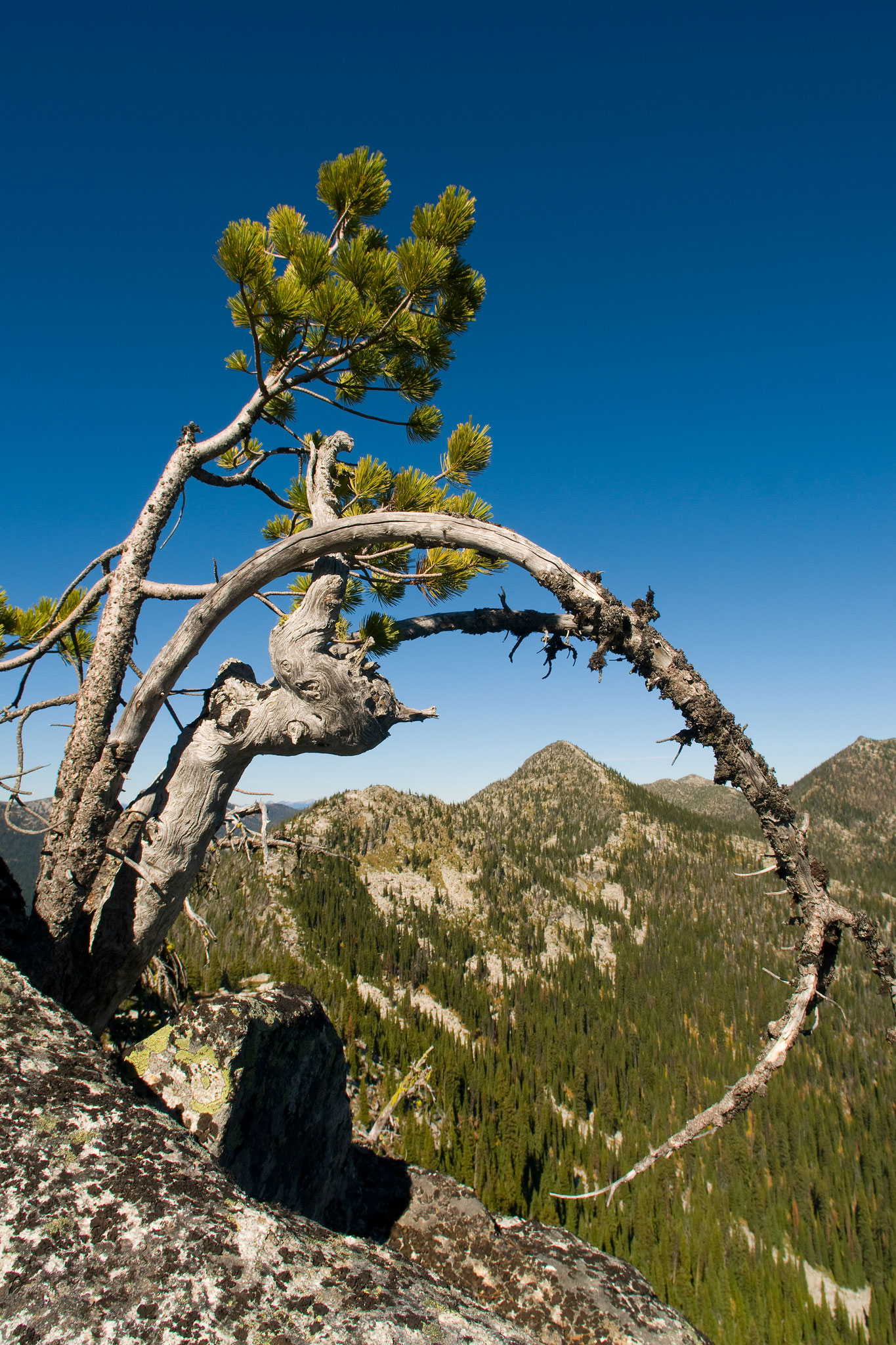
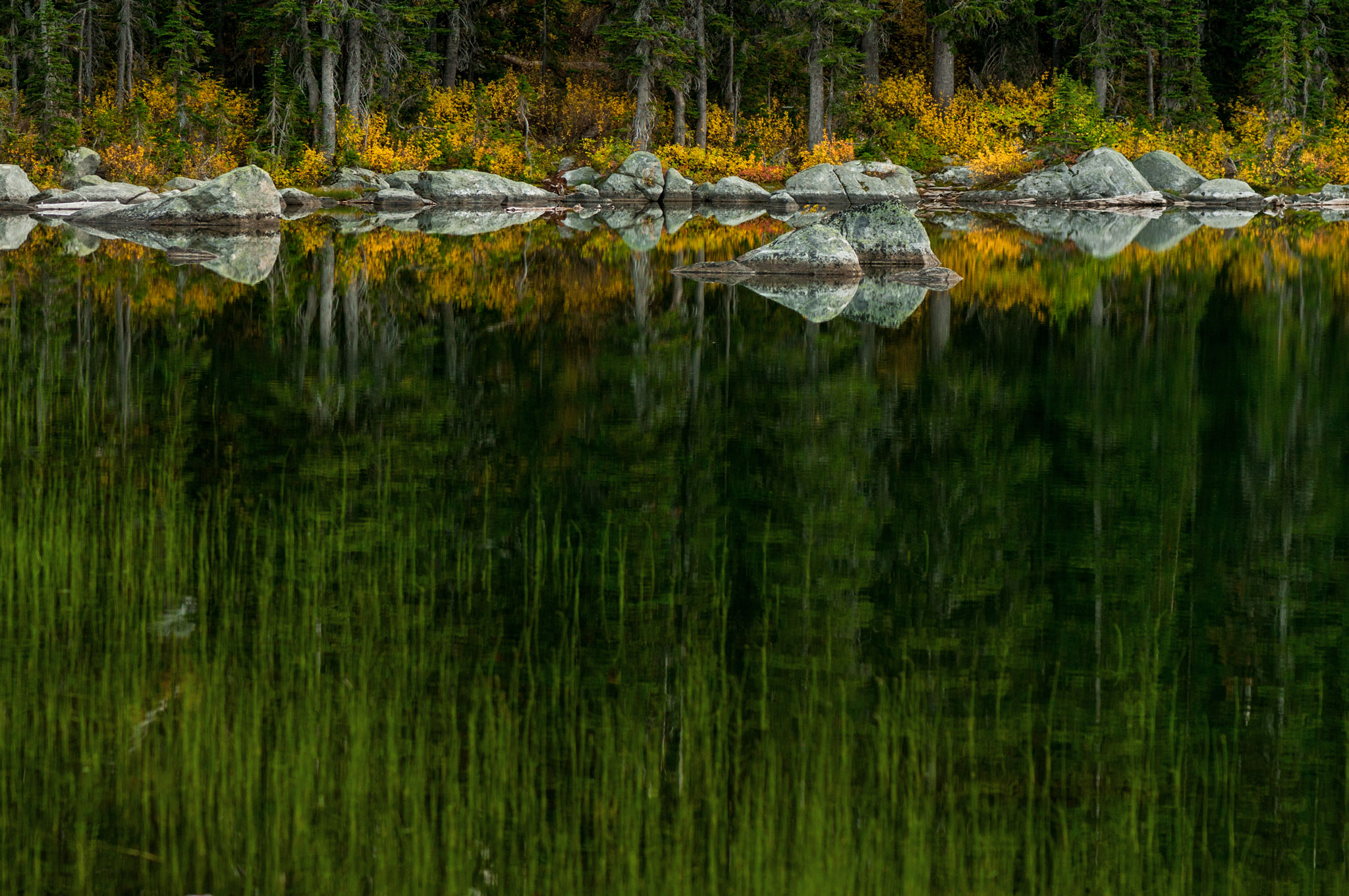
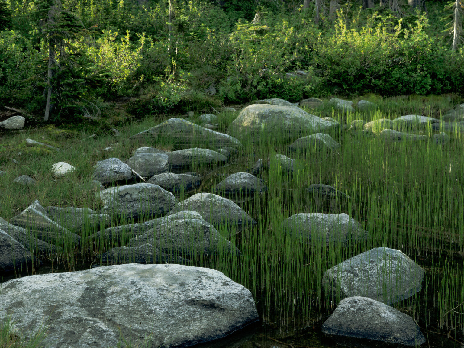
This hike is a great example of what you find in the Idaho Selkirks, but compared to most of the others it is a relatively easy hike. The scenery is beautiful with great vistas and the lakes nestled into rocky cliffs.
What was most noteworthy?
Within a couple hours of hiking you can access these beautiful mountain lakes of North Idaho. There are several options for changing up the route and you can keep it easy or add some miles over some more difficult hiking.
Are there restrooms?
No
Know before you go:
This is a popular hike, so expect to see other hikers. There’s also limited parking at the trailhead. Limited campsites are available at Pyramid Lake for those who want to spend a night or two and explore more of the area.
Story continues after a quick message from our sponsor below.
Where to celebrate after:
Kootenai River Brewing
How do you get there?
Pyramid and Ball Lake – Google Map Location
From Bonners Ferry take City Center exit and go west on Riverside Avenue. Follow signs to Kootenai Nat. Wildlife Refuge. Go right on West Side Road. Approximately 15 miles from Bonners Ferry take a left on Forest Road 634 (Trout Creek Road). Turn left onto Trout Creek Road, and follow it to the end, where you will find the trailhead parking area.
Nspire Challenge Rating:
- Lazy Sunday Stroll
- Family Adventure
- Average Outdoor Enthusiast
- Bring Your A-Game
- Master Adventurer
Photography By Joel Riner
As Featured In: Winter/Spring 2023


