From its inception, it beared the name “The Path,” based on our main objective of getting into the path of totality of last summer’s solar eclipse.
My buddy Ted and I began planning the route as snow accumulated in the driveway the previous winter. Even then, the buzz about the solar eclipse passing over Idaho was palpable.
We needed to pinpoint where in Idaho we wanted to witness this rare event. We agreed Railroad Ridge near Idaho’s White Clouds Wilderness was the spot. We set off-the-beaten-path rules — no interstate travel allowed and as much back roads and dirt roads as possible. Then we devoted the next six months to detailing routes, camp spots and must-sees.
We wrangled more adventurous souls, bringing our total travelers to 11: seven adults, two kids and two dogs. And on a hot mid-August day, after we’d finished up the last of our work duties, we set off. What we’d experience on this road trip would be far more than the thrill of momentary darkness. It would be an epic journey across our beautiful state.
DAY 1 Wednesday Aug. 16
Destination: South Fork of the Clearwater River
Distance: 212 miles
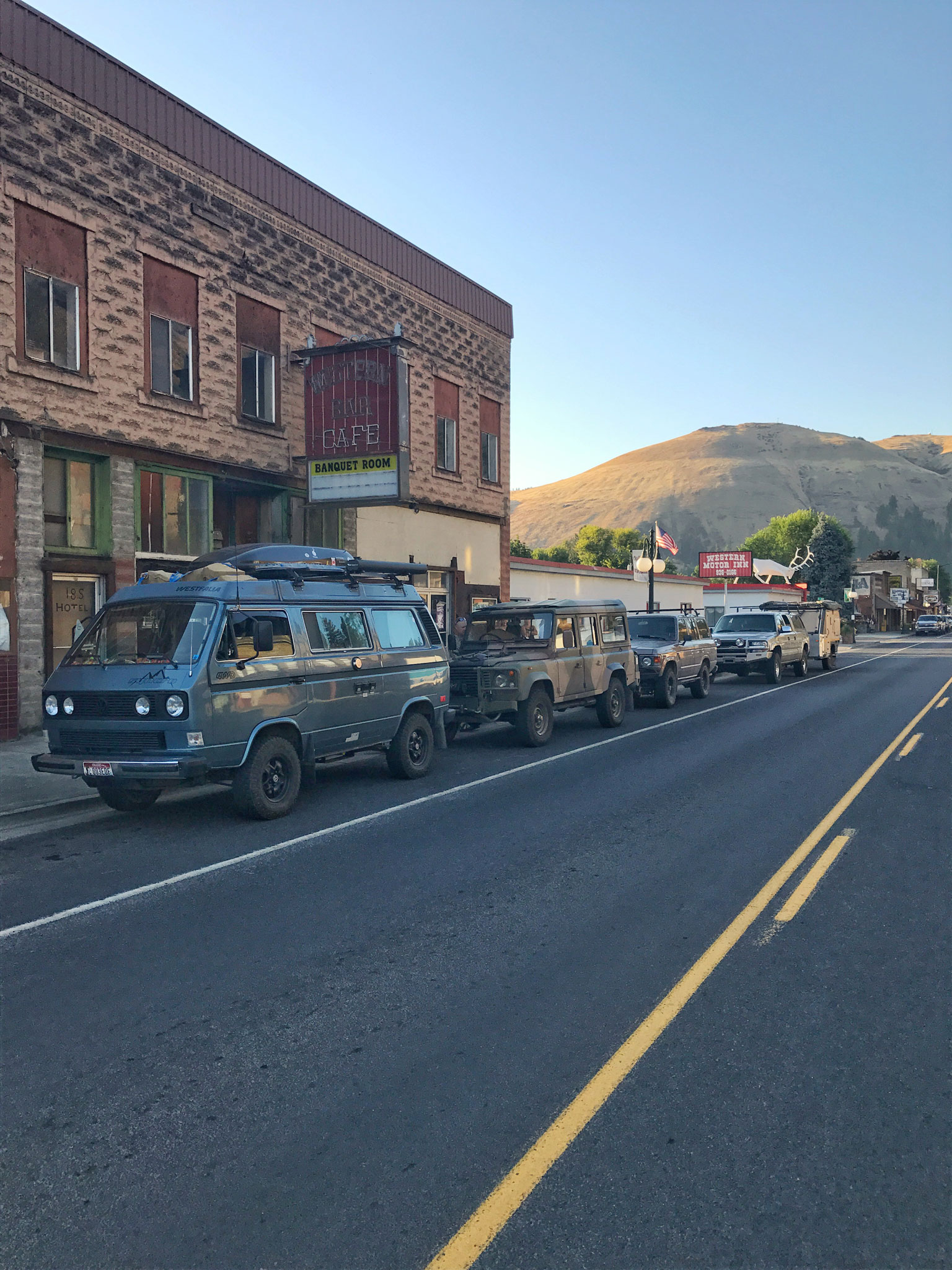
For our first night, we had to make it to the South Fork of the Clearwater River, just south of Kooskia. It was going to be a little bit of a long haul for an afternoon departure, but it set us up perfectly for the drive along the incredibly scenic Magruder Corridor the next day. Sticking to our travel rules, we headed south on I-95 but quickly diverted through the small towns of Potlatch, Kendrick and Juliaetta, then down to the Clearwater River.
As we continued to toward Kooskia, it finally hit me. We’re doing it. With the colors of the setting sun hitting the canyons and timberlines on one of Idaho’s great gems of a river, with Sue, my wife of 26 years, and Waylon our adventure pup sitting next to me and some of the best people I know just on the other side of my two-way radio, I could not stop smiling.
After a quick dinner in Stites, population 228, we made our way to the South Fork Campground, just above Castle Creek. We rolled into our first camp in the dark. Everyone quickly set up and settled in for the night. Tomorrow, we hit the Magruder.
DAY 2 Thursday
Destination: Selway River
Distance: 119 miles
We woke up early to head to our first stop: Elk City. The road from Stites to Elk City is a perfect example of how beautiful Idaho is. It follows right next to the river and at times is cut directly into the mountainside.
We continued south to the beginning of the Magruder Corridor, a 122-mile route that connects Elk City to Darby, Mont. It’s also a boundary line between two of Idaho’s largest wilderness areas: the 1.2-million-acre Selway-Bitterroot to the north and the 2.3-million-acre Frank Church-River of No Return to the south.
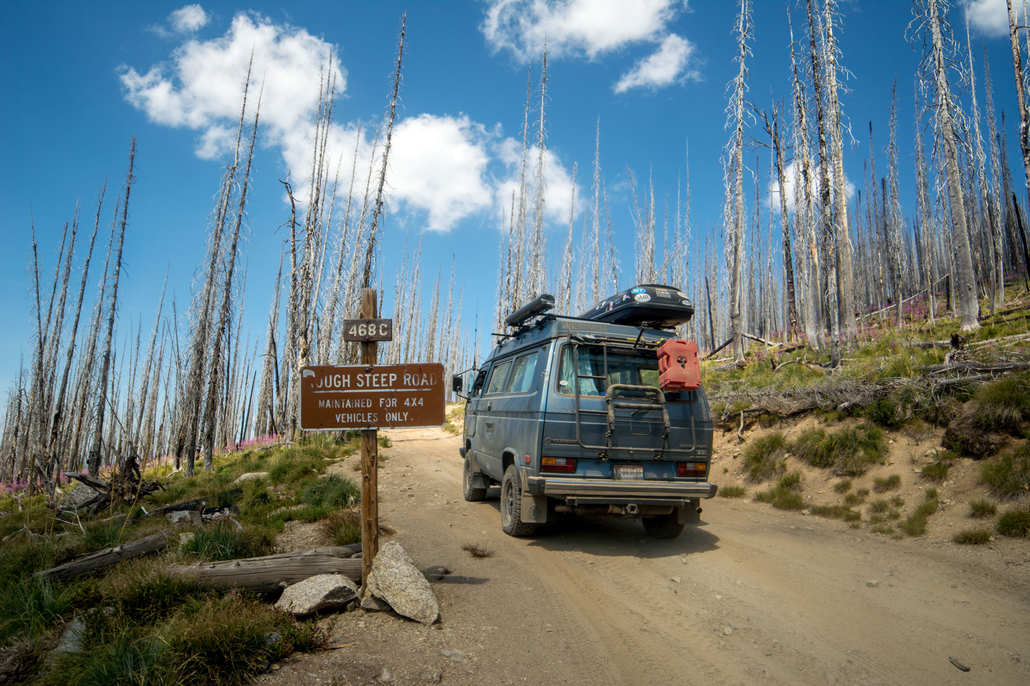
The route winds through the thick forest, and we continued to climb in elevation until we gained a ridgeline that allowed us to take a big gulp of Idaho’s beauty. Traveling east, we moved into an area that appears to have burned a few years earlier. Nature has a way of making this look beautiful with purple wild flowers blanketing the forest floor for as far as the eye can see.
Story continues after a quick message from our sponsor below.
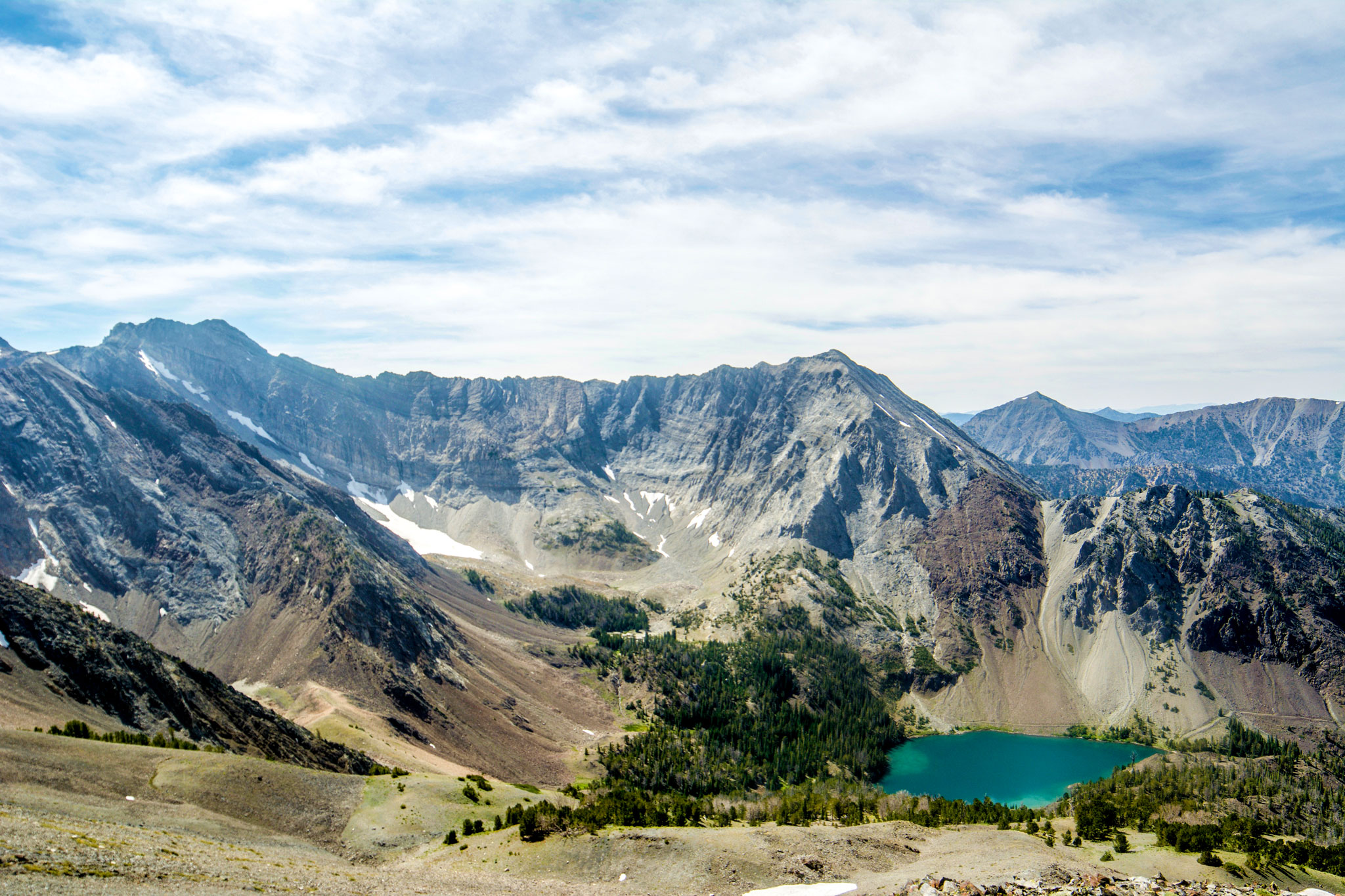
Our plan was to make it to the Selway River for the night, which for us was a good halfway point. We decided to make one side adventure and take the 4×4 track up to Burnt Knob Lookout. Driving one-and-a-half miles in low gear brought us to 8,196 feet in elevation and a gorgeous panorama of Idaho’s wilderness.
We dropped down to the Selway River and headed toward Paradise Campground. A few soaks in the river, dinner and a bit of recapping the day’s adventure took us late into the evening.
DAY 3 Friday
Destionation: Twin Creek
Distance: 92 miles
This was an unusually chilly August morning. We hustled around breaking camp while begging for the sun to hit us. Within 45 minutes, we were retracing our steps back to the Magruder and rolling out to Darby. The second half of the Corridor is a little less rugged than the first half, but no less beautiful.
We cruised into Darby for a late lunch and also with the objective of finding a new tire for one of our vehicles after a minor casualty the previous day. With our bellies full and a new tire racked up, we headed south up and over Lost Trail Pass to get to our camp at Twin Creek, just on the Idaho side of the Pass.
With the Magruder behind us, we enjoyed a spirited evening by the fire reliving the “wow” moments of the trip thus far.
DAY 4: Saturday
Destination: Big Lost River
Distance: 109 miles
Saturday’s travels were mostly highway, breaking our off-the-beaten-path rules. But it did allow us to head through some great little Idaho towns such as North Fork, Salmon and Challis.
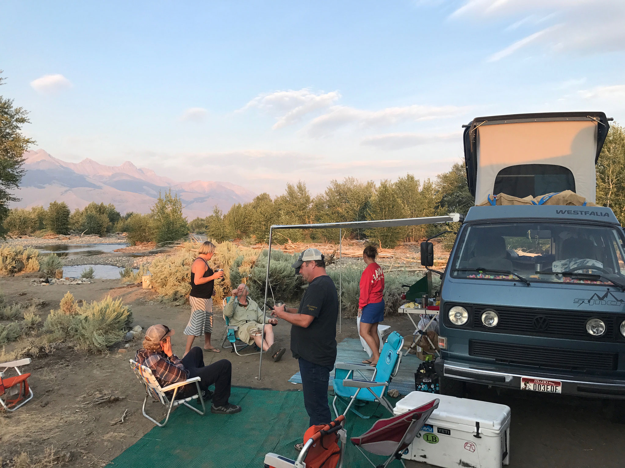
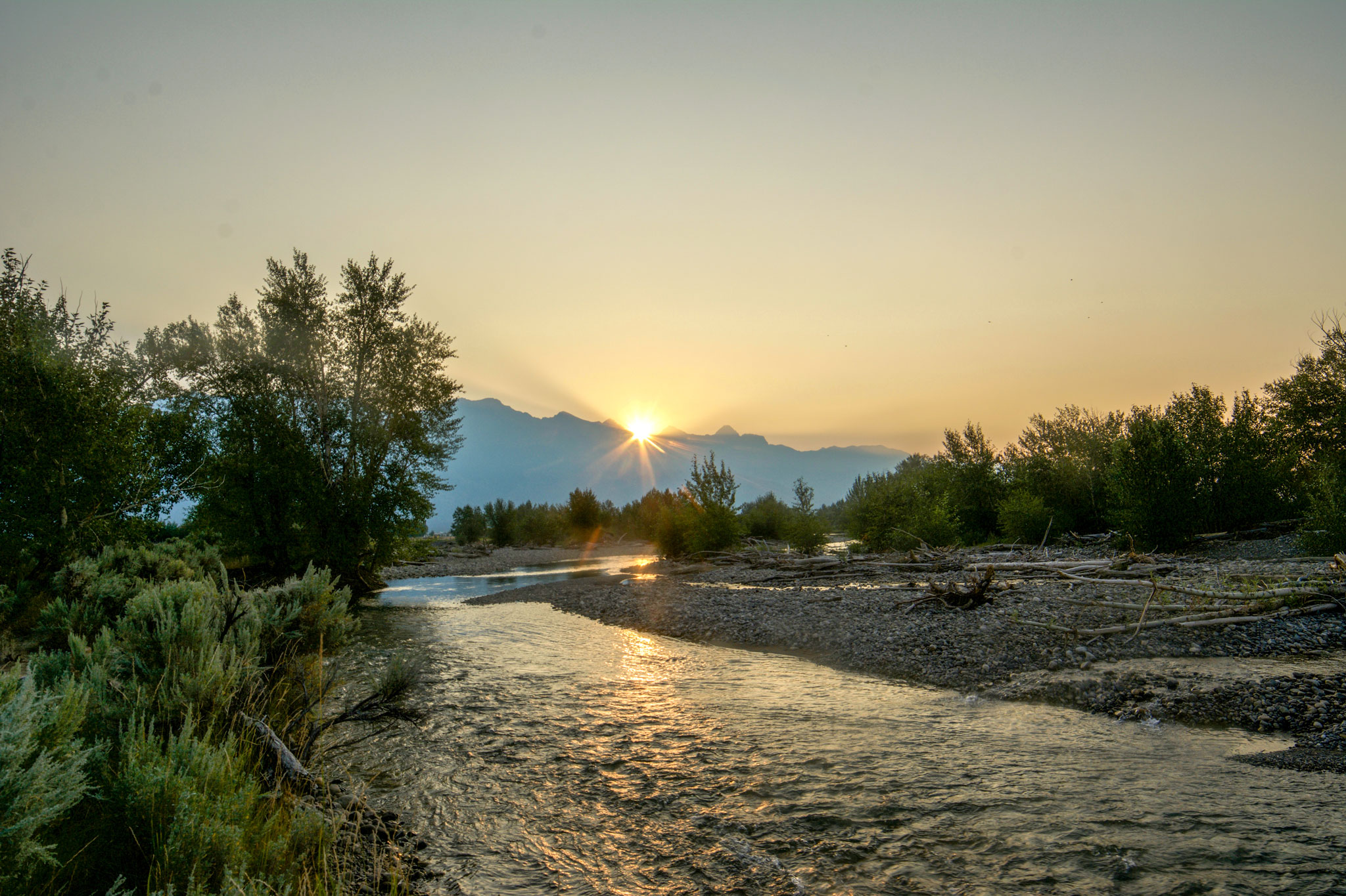
From Challis, we had originally planned to turn west toward Yankee Fork, but we decided to continue south toward Chilly to the Big Lost River and camped at the foot of Borah Peak, which at 12,662 feet is Idaho’s tallest mountain.
Watching the sun set while having Idaho’s tallest mountain behind us glowing in the fading light made it an end to another great day.
DAY 5: Sunday
Destination: RailRoad Ridge
Distance: 69 miles
We woke early to watch the sun rise up over Borah. The main objective today was to make it to the top of Railroad Ridge, where we would watch the eclipse.
This is the farthest south we would travel on this trip, and the desert scenery was a beautiful surprise. Once we hit the East Fork of the Salmon River, it was a short jaunt to the turn off to Railroad Ridge. It was a bit of a circus as people gathered for the eclipse. We kept going despite a warning that the road was not fit for normal travel. Perfect! That’s what we were hoping for.
Within about 10 minutes, we arrived at the Livingston Mine. This is where the road changed, ascending from 7,200 feet to 10,400 feet in just a few miles. It’s said to be the highest road in Idaho, accessible by full-sized vehicle. Locked in four-wheel drive, we dropped into low gear and started making our way along the rocky and rutty road.
As we approached the top, the road swept around and gained the main ridge at 10,000 feet, throwing a spectacular 360-degree view of Idaho at us. Motoring across the top of the flat ridge, we chatted over the radio about a possible camp spot and settled on one of the high spots.
As one would expect, it was a little windy camping above 10,000 feet on an open ridgeline. As soon as the sun set, the temperatures dropped. Wearing beanies and puffy coats, we did our last-minute checks and tie downs for the night and turned in. Tomorrow was the eclipse, and we were all looking forward to it.
DAY 6: Monday
Destination: South Fork Salmon
Distance: 149 miles
The adventures of Ted and I go way back. We’ve been doing this together long enough to know what the other is thinking. During the previous day’s camp set up, Ted pointed to the peak at the end of the ridge and stated “In the morning,” which of course translates to: Let’s wake up way before it’s light, hike to the top of that peak, watch the sunrise, brew a cup of coffee and be back down before everyone else is out of bed.
And so the pre-dawn assault was on.
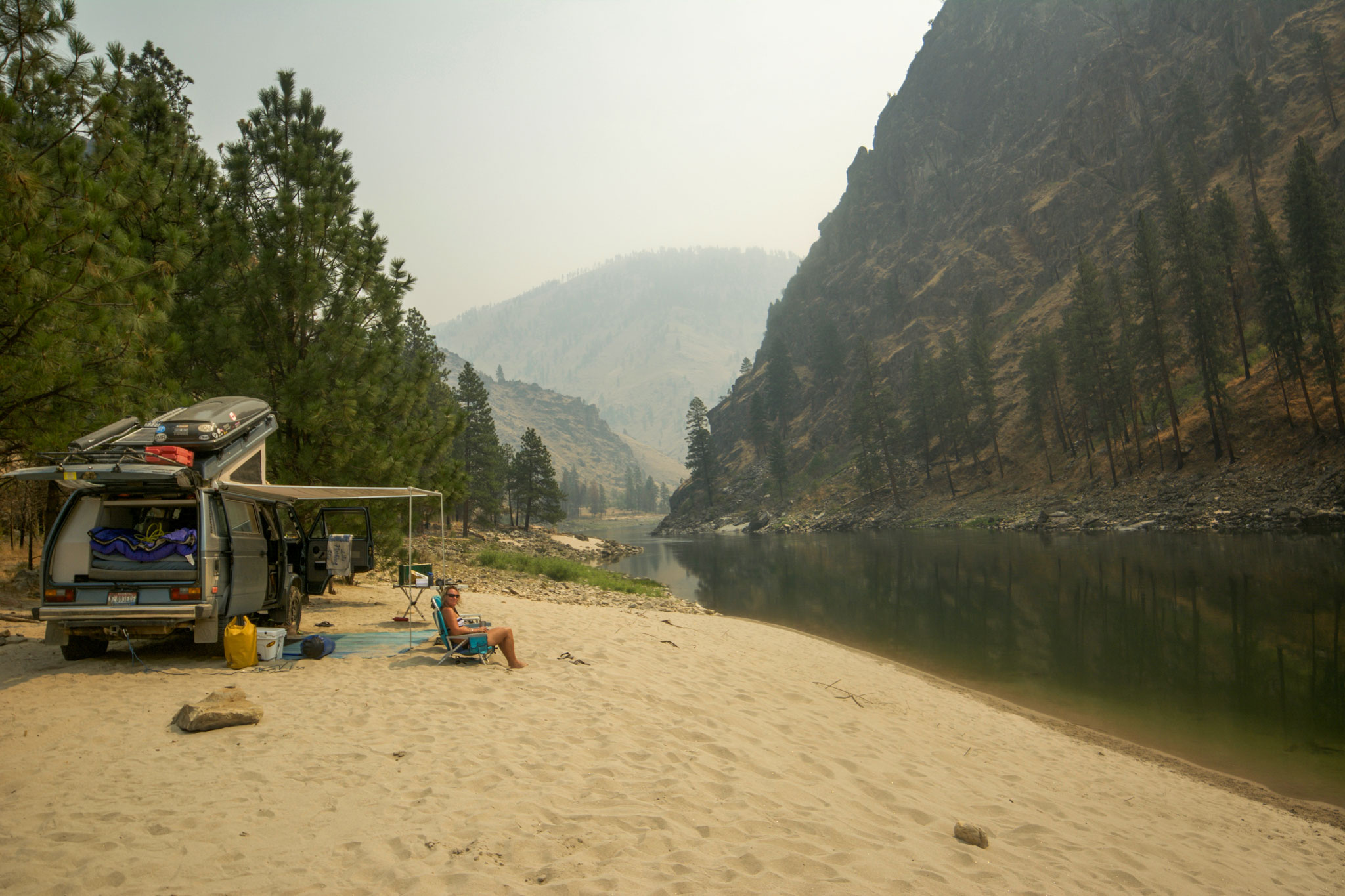
As planned, we were up and hiking early. At almost 11,000 feet, we slowly worked our way up the steep and rocky backbone of the ridge. Sitting on the top was breathtaking. We could see Borah Peak far to the east and turn around and look straight into the beautiful Sawtooth Mountains.
After we got back, it was time to prep for the eclipse. At our location, the magical event was supposed to be around 11:30 a.m. In order to keep our travel schedule, we had planned to jump right back on the road afterward.
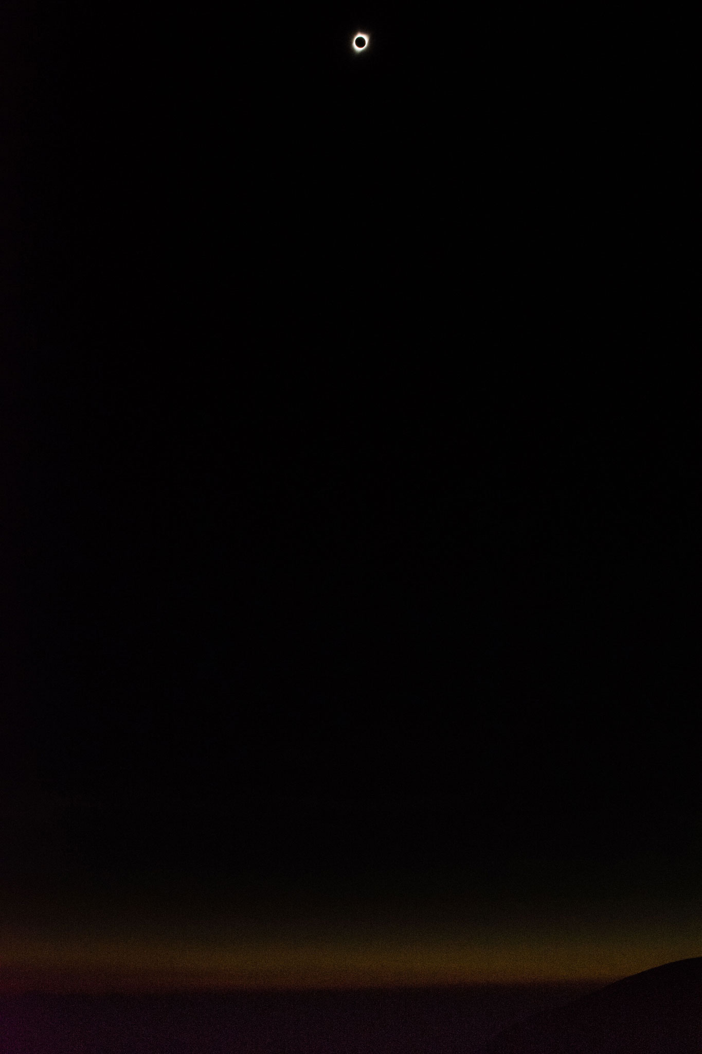
I spent more time researching the route for this trip than I did thinking about the eclipse. I had no idea what was about to happen, other than we were sitting in an almost perfect viewing spot. The count down was on, as were our eclipse-viewing glasses. Just as the moon fully covered the sun, the temperature dropped what felt like 20 degrees. The stars came out. We all stared at the magical halo in the sky. Then, we witnessed what appeared like a 360-degree sunrise across the complete horizon. “Beam me up Scotty” was all I could think. And then all returned to normal. It was incredible. Those 90 seconds will stay with me a lifetime. On schedule, we jumped into our rigs and slowly made our way to our next stop in Stanley.
We pinpointed the night’s camp spot on the South Fork of the Salmon River. This would give us only a couple hours of driving in the morning and land us in McCall for lunch.
We made our way down to Warm Lake, turned north and rolled down one of the most enjoyable roads on the trip: a very quiet single-lane road that twisted and turned in sequence with the Salmon river. It alternated from paved to dirt.
As we pulled down into our campsite, Sue and I quickly set up and got our little Coleman box oven warming for dinner — our turn to cook for the group. For the next two hours, we made pizza after pizza and recounted the trip.
DAY 7: Tuesday
Destination: Spring Bar on the Main Salmon
Distance: 145 miles
With everyone loaded, we continued on down the South Fork, which is an unbelievably scenic little track and one of those places I added to my “must return someday” list.
After a quick lunch in McCall, we headed to our last camp on the main Salmon River, just above the small but scenic town of Riggins. We traveled north along the banks of Payette Lake, stopping at a wide spot in the road to quickly throw ourselves off the rocks and into the water.
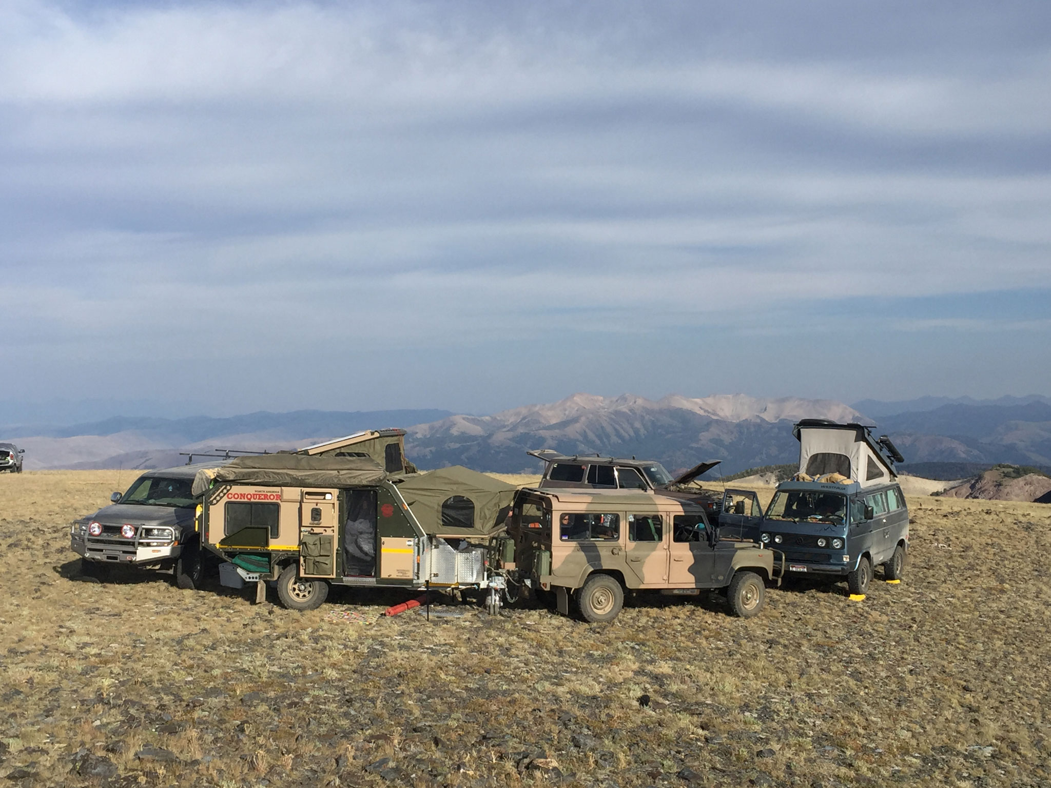
Our last camp on the river was a perfect closer. We sat perched in our small chairs on a big sandy beach near the water’s edge, watching the river go by. As the sun began to set, I got lost in my thoughts. Thus far, we had traveled almost 1,000 miles and all but maybe a couple dozen were in Idaho. Some of the stops now go on my list of special spots.
I’ve been to and seen some pretty amazing places. Alaska, Canada, Baja, even Central and South America. But this trip through Idaho was different. Not only was it a meaningful experience with family and friends in a state full of wonder and beauty, it was a reminder that adventure doesn’t require fancy trips to far away places.
Adventure is here, right in our own backyard.
Story and Photography By Bill Radobenko
As Featured In: 2018 Summer/Fall CDA Edition


