Closest city to the trailhead:
Clark Fork, Idaho
Average distance of hike:
A little over 4 miles one-way with an elevation gain of 3,700 feet.
Why do you recommend it?
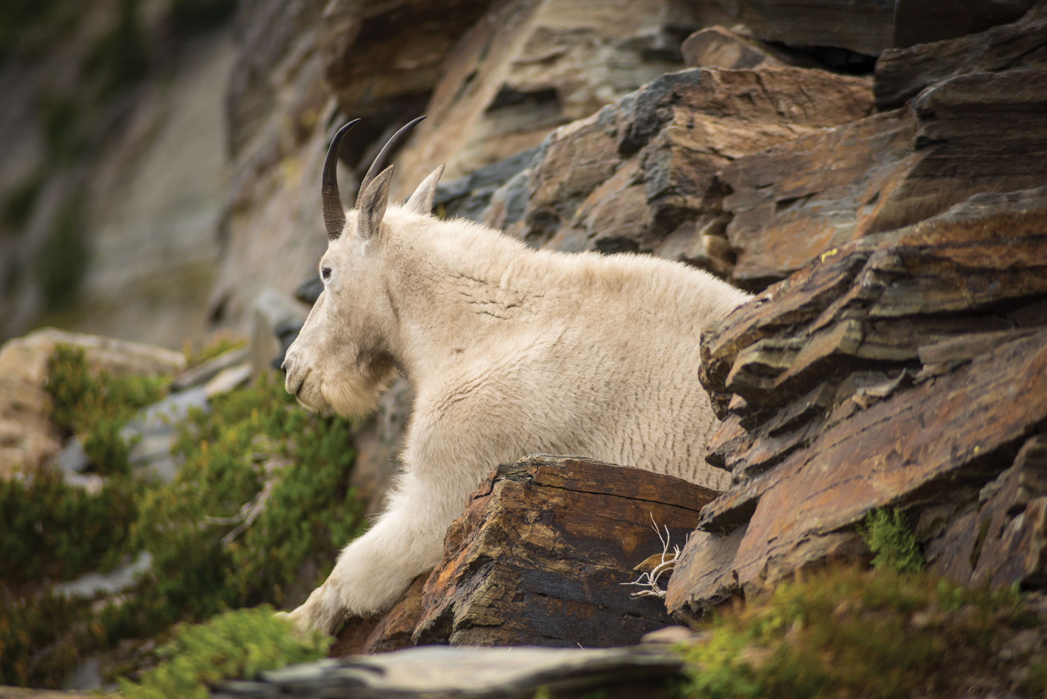
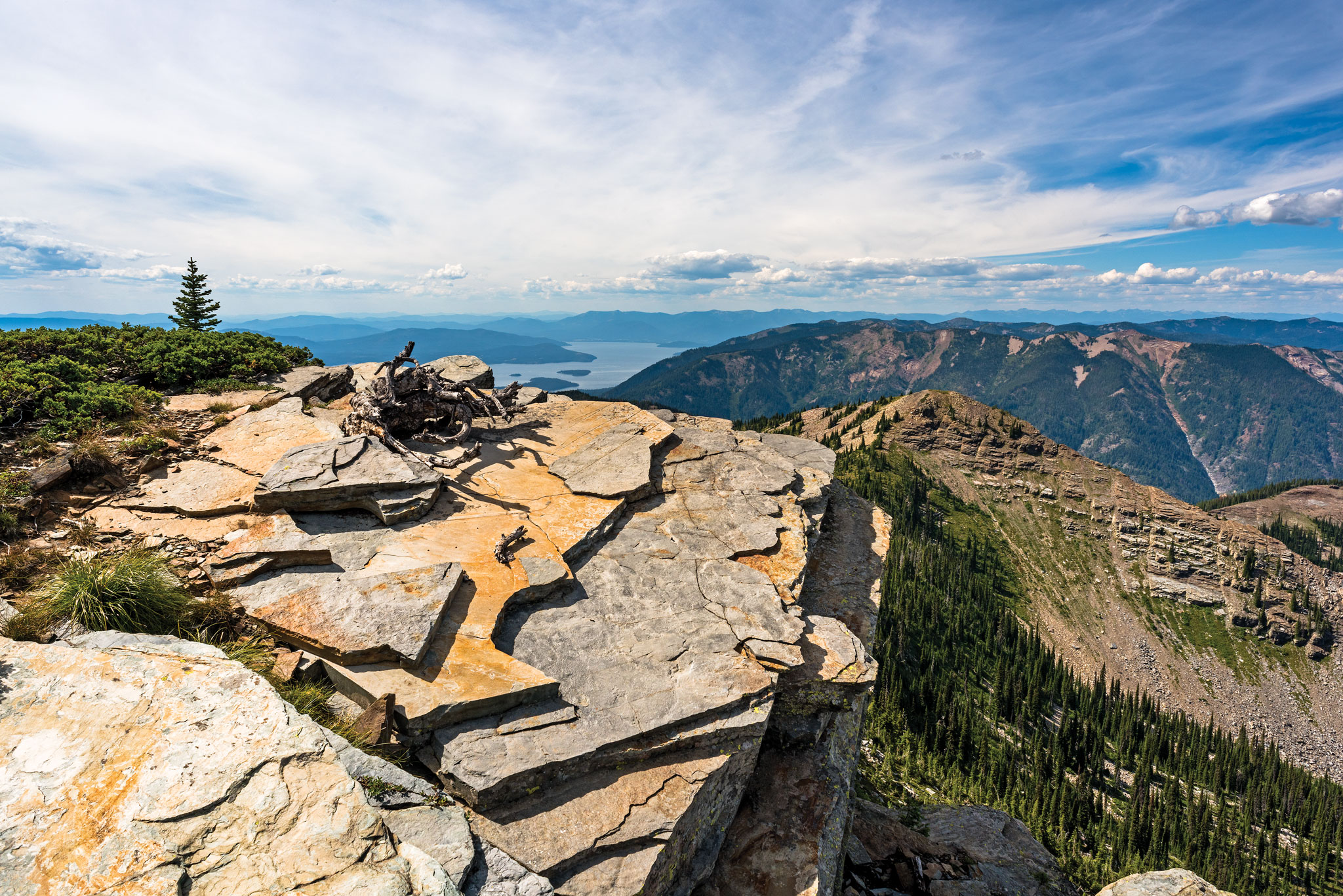
This is an incredibly challenging but scenic hike. The first section of trail — maybe a quarter mile — is quite steep, but it’s not long before the trail becomes more gradual. A narrow footpath takes you to the actual peak. Forest, rocks, goats and amazing views from the top make this hike worth the effort.
What was most noteworthy?
The scenery. To the north, south and east are mountains as far as you can see. The forest is full of aged cedars and thick foliage, and the forest floor is covered with a heavy blanket of dark green moss. The timber gets thinner the higher you climb, until there are almost no trees at all and the ground is covered entirely with rocks and bear grass. It’s a beautiful contrast. Out to the west, rise majestic, rocky peaks, crystal blue alpine lakes, even several small fields of glacial ice.
Story continues after a quick message from our sponsor below.
Are there restrooms?
Yes, at the trailhead.
Know before you go:
This is a strenuous hike, so make sure you have plenty of water and snacks and take pair of good shoes.
Where to celebrate after?
Try the Squeeze Inn. It’s a highly rated family-owned restaurant right in downtown Clark Fork.
Nspire Challenge Rating:
- Lazy Sunday Stroll
- Family Adventure
- Average Outdoor Enthusiast
- Bring Your A-Game
- Master Adventurer
How do you get there?
Scotchman’s Peak – Google Map Location
Take Highway 200 to Clark Fork, turn north at the Chevron Station. Continue up Mosquito Creek Road #276 to the junction of road FR 2295. Turn right and go about a mile. Watch for signs for Trail #65. Turn left on road FR 2294 and another left on FR 2294A. Follow a little over a mile to where the road ends at the trailhead.

Photography By Joel Riner
As Featured In: Winter/Spring 2017


