Closest city to the trailhead:
Kingston, Idaho
Average Distance of hike:
15 miles one way

Why do you recommend it?
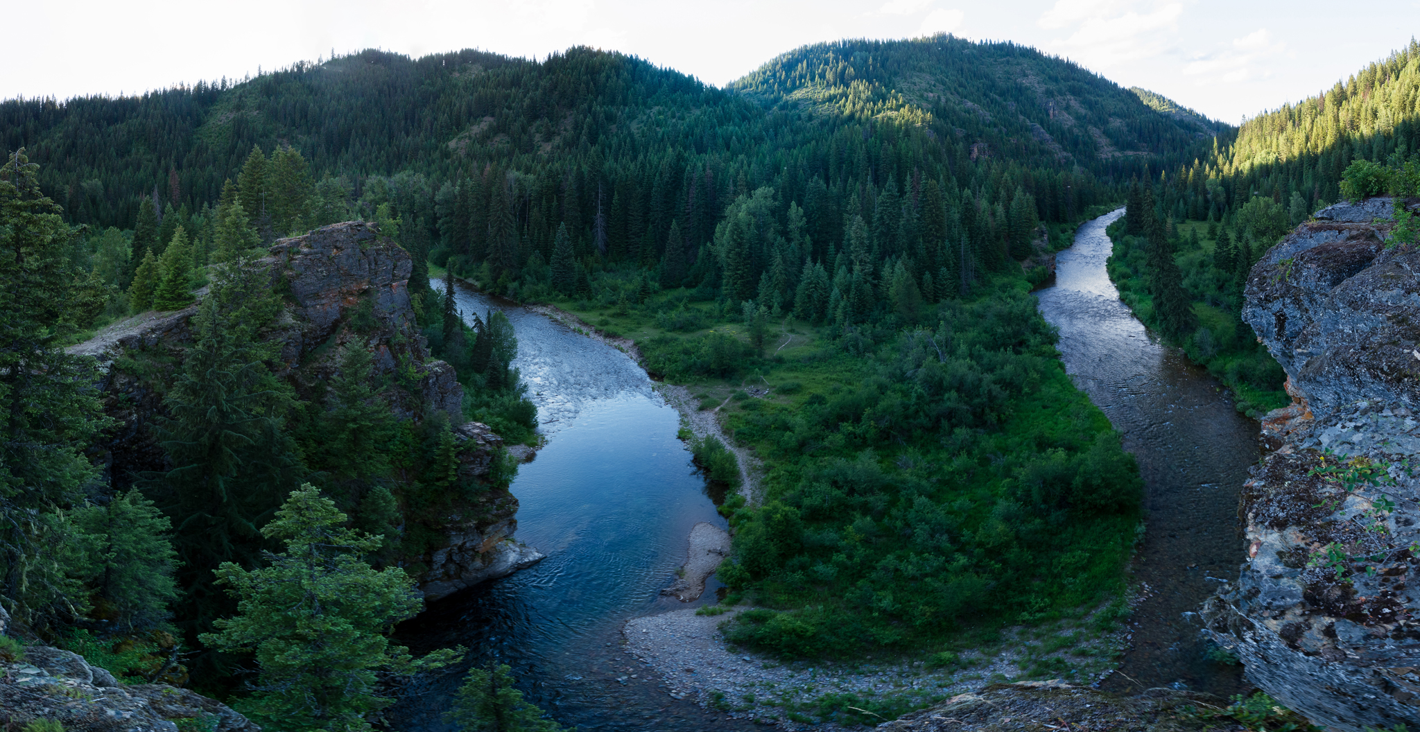
The roadless section of the North Fork of the Coeur d’Alene River is a wild and beautiful place with very limited traffic and spectacular Northern Bitterroot views. It is a relatively mellow trail that meanders along the most remote section of the river for 15 miles.
What was most noteworthy?
The views along the trail are absolutely breathtaking; massive rock formations such as Steamboat Rock and dozens of striking multi-colored cliffs dot the landscape along the river and trail.
Are there restrooms?
No
Story continues after a quick message from our sponsor below.
Know before you go?
This area is extremely remote and there is almost always heavy bear activity. Bring a sidearm and/or bear spray. Always let someone know where you are going and when you plan on returning. This area is not usually accessible until May during normal snow years. Do not attempt to drive past Shoshone Basecamp if there is still significant snow on the road without a well equipped vehicle and driving skills to match.
Where to celebrate after?
Sprag Pole Inn in Murray, Idaho.
How do you get there?
From Coeur d’Alene, take I-90 east to Kingston. Exit I-90 and head north on the Coeur d’Alene River Road for approximately 50 miles. Once past Prichard Creek, the road becomes NFS 208. Right before the road crosses a bridge over the river, and a few miles past Big Hank Campground, there is a gravel pullout on both sides of the road. There is an information board on the right side next to the beginning of Trail 20.
Nspire Challenge Rating:
- Lazy Sunday Stroll
- Family Adventure
- Average Outdoor Enthusiast
- Bring Your A-Game
- Master Adventurer
Photography By Chris Celentano
As Featured In: Summer/Fall 2021


1 Comment
Just remember N.Id has lots of wolves as well as bears and the wolves dont den up in the winter time and get much hungrier with the deep snow.