


Closest city to the trailhead:
Carson, Wash.
Average Distance of hike:
15 miles
Why do you recommend it?
This area is remote, a bit of a trek to get to but still is a popular destination. Once you are there you’ll see why it offers up so many beautiful scenes to take in.
What was most noteworthy?
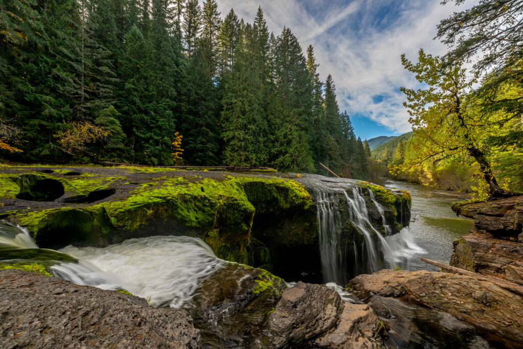
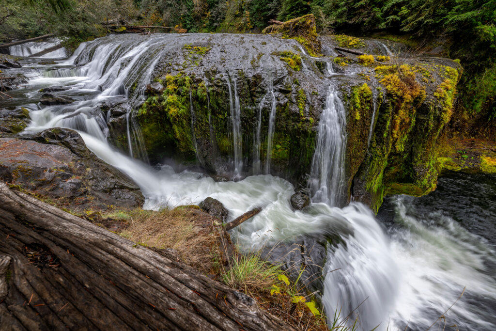
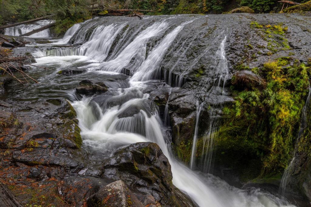
Multiple waterfalls and beautiful scenery as you walk along the Lewis River. The falls are amazing, but the forest is full of huge Douglas fir and Cedar trees, too.
Are there restrooms?
Yes
Know before you go:
The road getting there can be challenging at times and it has many big holes and bumps..
Where to celebrate after:
Around the campfire.
Upper Lewis Falls spills wide and powerful over emerald-lined basalt, where quiet forest trails meet the steady rhythm of rushing water deep in Washington’s backcountry.
How do you get there?
From Carson, Wash. go north on Second Street toward Hot Springs Avenue (100 feet). Turn left on Hot Springs Avenue (tenth of a mile). Turn right on Wind River Highway (13.4 miles). Turn right on Meadow Creek Road/ NF-30 (13 miles). Turn left on Curly Creek Road. (5.1 miles). Turn right on NF-90 (10 miles). Turn right onto FS-9054 (450 feet). Turn right (tenth of a mile). Arrive at Lower Lewis Falls. N
Nspire Challenge Rating:
- Lazy Sunday Stroll
- Family Adventure
- Average Outdoor Enthusiast
- Bring Your A-Game
- Master Adventurer
As seen in the 2026 Winter/Spring edition
Photography by: Joel Riner